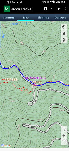
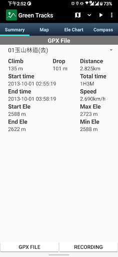
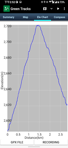
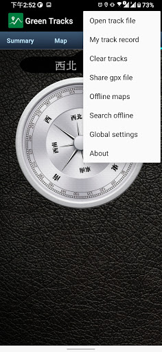
1. When merging and exporting my records, you can choose "Merge into multiple segments" or "Merge into a single segment".
2. Other bugs fixed.
1. Fine-tune merging and exporting my track records.
2. Other bugs fixed.
1. Fix the problem that some gpx files cannot display the elevation chart.
2. Other bugs fixed.
Get rewards for watching videos. Watch a few rewarded ads in exchange for an ad-free period.
1. Adjust the "share gpx file" preview screen.
2.Select the file interface to synchronize, including "Open track file", "Share gpx file" and export "My track record".
3. A elevation chart is added to the lower left corner of the Google Earth tour file.
4. If you long click the map to add a waypoint when editing records, the waypoint time will be taken from the time of the track point within 10 meters from the track line.
5. A new timing format is added to the default name of the waypoint.
1.Support kml 2.2 specification.
2. Can export kml and kmz tour files that can be played by Google Earth Pro (PC version).
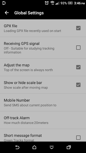
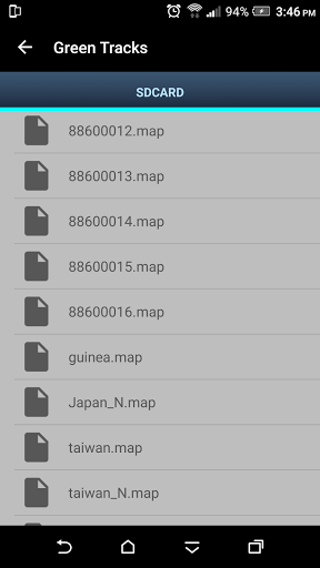
1. Adjust the "Open track file" user interface from "Global settings".
2. Back up and restore the track files in your phone.
3. Fix the crash issue when recording track on Android 14 mobile phones.
1. Parse and display Polygon of KML files on the map.
2. Fixed the problem that GPX files shared by other apps cannot be opened.
3. Other bug fixes.
1. When recording the track, record whether there is a network signal at each track point.
2. The communication point and indicator switching icon is displayed on the right side of the map.
3. In the global settings, select whether the exported GPX file includes communication points.
4. The list of shared gpx files shows the GPX recording date.
5. Fixed the problem that the photo map cannot be opened on Android 13 mobile phones.
6. Other bug fixes.
1. Fine-tune the function of exporting GPX files.
2. Fix the problem of exporting KML files.
3. System performance optimization.
4. Other bug fixes.
5. Remove "MANAGE_EXTERNAL_STORAGE" Permission.
1. Require notification permissions for Android 13 phones
2. Offline map interface adjustment
3. Other bug fixes
4. System performance optimization
1. Require notification permissions for Android 13 phones
2. Offline map interface adjustment
3. Other bug fixes
4. System performance optimization
1. Change track point icon.
2. Optimize the photo map and add re-scanning function.
3. Browsing photos can zoom in, zoom out, and move.
4. Upgrade Mapsforge version to V0.19.
5. Other bug fixes.
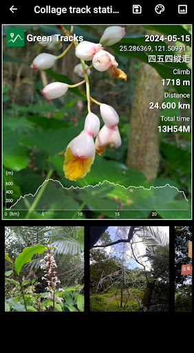
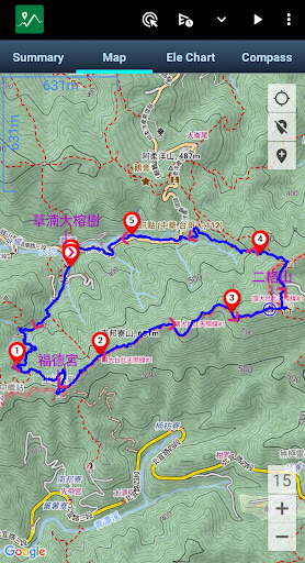
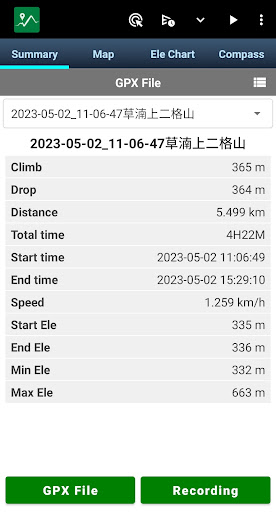
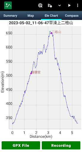
1.Screenshot:Use this function to combine screenshots of 'Summary', 'map' and 'Ele Chart' into one picture.
2. Other bug fixes.
1. "Open track file" interface adjustment. You can choose to search all folders containing gpx, kml and kmz files or use the Android default open file interface (basic settings).
2. Other bug fixes.
1. Read and parse KML and KMZ files.
2. Select the preset waypoint name in the global settings.
3. When deleting a waypoint, you can choose whether to delete the original photo.
4. If the number of waypoints in the GPX file exceeds the set value in the basic settings, the waypoints will not be displayed in the elevation chart.
5. Other bug fixes.
1. Global settings: long press the screen to create a marker, the default is disabled.
2. The font size of the marker name is adjusted according to the size of the map level.
3. To avoid misinterpretation of travel time, all track times generated by "create route" are adjusted to stored time.
4. "off-track Alarm" problem fixed.
5. Fix the problem that GPX files cannot be opened from other APPs.
6. Other bug fixes.
Provides the function of splitting self-recorded tracks.
Provides the function of splitting self-recorded tracks.
1.Create your route with BRouter.
2.Bug fixes.
1. Fix the issue of downloading OpenAndroMaps.
2. Adjust upload GPX file dialog.
3. Bug fixes.
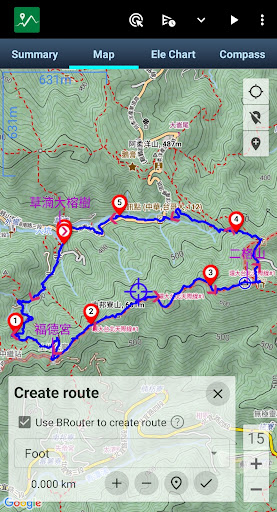
1. Create route
2. When adding waypoints, you can select photos from the album
3. Bug fixes
1. Create route
2. When adding waypoints, you can select photos from the album
3. Bug fixes
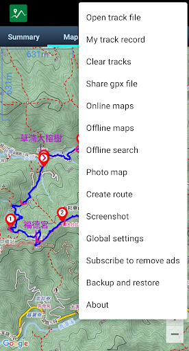
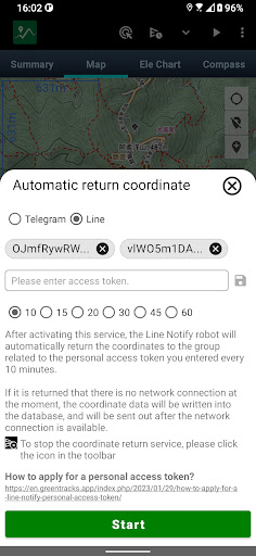
1. Coordinate automatic return service
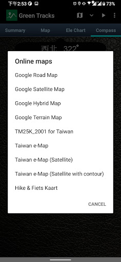
2. The online map option is moved to the menu
1. Backup and restore
2. The Ele Chart shows waypoints
3. Reduce the size of the milestone icon
4. System optimization
5. When editing the record, you can set the selected track point as the end point and delete the subsequent track points
1. Backup and restore
2. The Ele Chart shows waypoints
3. Reduce the size of the milestone icon
4. System optimization
5. When editing the record, you can set the selected track point as the end point and delete the subsequent track points
1.subscribe to remove ads
2.bug fixed
3.fine-tune UI
1.subscribe to remove ads
2.bug fixed
Show distance markers along the track line.
1. New function: coordinate conversion
2. bug fixed
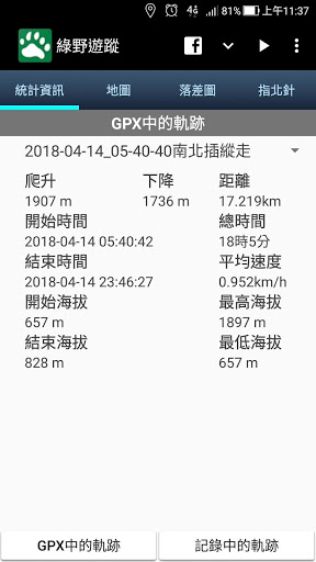
1. All waypoints in the GPX file are displayed in the Summary
2. The current location is displayed in the Ele Chat
3. You can share or delete the file when you open the track file
1. All waypoints in the GPX file are displayed in the Summary
2. The current location is displayed in the Ele Chat
3. You can share or delete the file when you open the track file
1.Fixed an issue where maps and gpx files could not be read after the phone was upgraded to Android 11
2.Fixed reading MBTiles bugs.
3.Export tracking record to kmz.
4.Automatically reposition one minute after moving the map (this function can be disabled or enabled in the global settings)
5.New Logo for Green Tracks
V6.4
Use a barometer to estimate altitude
V6.5 & V6.6
Bug fixed
V6.4
Use a barometer to estimate altitude
V6.5
Bug fixed
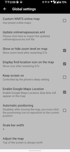
Enable or disable Google Maps positioning (Global settings)
Search for information in an offline map file
Search for information in an offline map file
V5.3.5
Bug fix
V5.3.4
Bug fix
V5.3.3
1. Searching for coordinates (marked on the map) will show the distance and angle between the target position and the current position at the bottom of the map.
2. Switch App language function (Golbal settings)
Mapsforge overlay function, which can overlay offline maps on top of offline maps.
1. Mapsforge overlay function, which can overlay offline maps on top of online maps.
2. WMTS online map cache mechanism, store the browsed online map on the mobile phone for offline use.
3. Customize onlinemapsources.xml, you can add online maps that support WMTS.
4. Record track If the previous record is continued, the preset name will be continued when the new waypoint is added.
V3.41
Bug fix
V3.40.1
Bug fix
1. Download OpenAndroMaps map (offline map)
2. Share the gpx file of the external SD card to other apps ( open track file / long press gpx file name )
V3.40
1. Custom map rotation angle (Global settings)
2.gpx file sharing to other apps (open track file / long press gpx file name)
V3.39
1. Custom scale bar width (global settings)
2. Optimize the compass
V3.38.1
Bug fixes
V3.38
1.Customize the opening track file list sorting(global settings)
2.Bug fixes
V3.37
1. Receive the geo URI and display it on the map
2.Bug fixes
V3.36.2
Permission adjustment, remove contact permissions
V3.36
1. Optimize 'North of the map towards the north of compass' and set it as a preset (global settings)
2.Track color depends on the definition in the GPX file (global settings)
3. If you do not grant permission, you will not be able to use the green field to avoid some crash problems
4. Other bug fixes
V3.35
1. fixed notifications issue on Android 8.
2. Adjust the file list background color to white.
3. List of files sorted by date.
4. FB icon in toolbar changed to online map link.
5. You can customize the scale color in the global settings.
6. Tracks can be merged and exported into GPX or KML.
V3.34.2
Bug fixed
V3.34
Bug fixed
1. Record track can only record waypoints
2. The GPX file downloaded from Google Drive or Email can be selected to start from Green Fields
3. The icon indicating the location on the map is changed from the global settings to whether it is displayed on the map or not.
4. Portuguese translation
V3.31
1. The track in the current record will still be displayed while the map is being viewed
2. "Open Track file", "offline maps", and "share gpx file" (uploads), first show folders, then show list of files
3.Bug fixed
V3.301. OpenAndroMaps offline maps and Elevate4 style themes can be downloaded directly through the Green Tracks from Menu / Offline maps .2. Viewfinderpanoramas elevation file can be downloaded directly through Green Tracks from Menu / Global Settings.3. After downloading the GPX file through the browser, you can choose to open by Green Tracks.
V3.29.3Bug fixed.1. After manually moving the map, the coordinate information of the current location is not updated2. Other crash issue
V3.281.Mapsforge offline map multilingual language2.Mapsforge offline map layer can choose to show or hide3. Altitude statistics algorithm adjustment4. Manually move the map will not automatically return to the current location, need to tape the current location icon5. Remove the stop receiving GPS signal button, integrated in the current location icon, the blue icon indicates receiving GPS signal, the black icon indicates the suspension of receiving GPS signal
V3.27.2Bug fixed to open GPX file from file managerV3.27.1Fix two Icon issue.V3.271. Long press the file name in the list to remove the file (menu / open track file).2. Record track export KML file.3. Through the file manager to open GPX file by GTs.4. Click the marker will display the comment content (if there is data in GPX file)
V3.25.2Fixed the crash bug of V3.25 about adding marker when recording track.
V3.251. Optimized waypoint display performance, the test has been shown that more than 10,000 waypoints.
V3.201. Supports feet, miles of units2. Adjust the gpx file parse method
V3.191.Support open gpx file in Routes format
V3.181.Update Taiwan MOI offline map link
V3.171.Fix does not automatically load the track into the map when recording track.2.Customize the track width( Global Settings )
V3.16Fix does not automatically load the map problem when starting GTs.
V3.15.2Bugs fixed about app crashes in some cases.
V3.151.Customize the track color( Global Settings )2.North of the map towards the north of compass ( Global Settings / Adjust the map)
V3.13.21. bug fixed.
V3.13.11. bug fixed.2. Change the wording from flag internal to Indicator interval and default value is 1000m (Global Settings).3. The content includes the accuracy when sharing the current position.
V3.131. When you start the green tracks, according to your location (Taiwan) it is recommended to download MOI.OSM - Taiwan TOPO offline map2. If you do not turn on the mobile ocation function when you start the green tracks, there will be a prompt.3. Offline map (.map) Add hillside shadow feature (Requires style theme support), please enable it in global settings.4. Export gpx files can be opened in Garmin MapSource.5. bug fixed.


